Drone Videos & Aerial Footage
Professional drone footage for property, construction projects and architecture. Breathtaking aerial perspectives that showcase your project from a truly unique angle.
Showreel
Our drone flights.
Lassen Sie uns Ihr Projekt realisieren.
Egal ob erste Idee, Skizze oder fertiger CAD-Plan – wir verwandeln Ihre Entwürfe in beeindruckende Renderings, die verkaufen.
Jetzt unverbindlich anfragenKostenloses Angebot innerhalb von 24 Stunden.
Das sagen unsere Kunden
Erfolgreiche Immobilienprojekte basieren auf Vertrauen und erstklassigen Visualisierungen (Ø 5.0 Sterne).
"The drone footage, complete with a precise CGI photomontage of our development, instantly visualised the brilliant location and transport links for investors. The seamless integration of 3D building and real photography is extremely realistic."
"We absolutely needed spectacular aerial perspectives for the brochure. MaxVisions not only organised the drone flight masterfully but also retouched our building into the landscape beautifully."
"The precision of the drone compositing (matchmoving) is fantastic. Light, shadow and perspective blend flawlessly with the real environment. Absolute top level."
Projects
All drone videos.
Drone Video Showreel
Property · Aerial Footage · Drone
Old Malthouse
Drone Flight · Existing Property
Property from a bird\u2019s-eye view - an incomparable impression.
Professional drone videos for property convey a sense of space and a perspective no ground-level photo could ever capture. Whether new development, existing property or large-scale project - our licensed drone pilots capture your building from the air in breathtaking 4K quality.
Drone footage for developers and architects offers unique added value: investors and buyers grasp the location, infrastructure, green spaces and overall concept at a glance. Combined with our 3D architectural visualisations, we can also integrate future developments photorealistically into real drone footage (CGI compositing).
From rapid construction progress documentation to cinematic brand films - our drone flights are the ideal tool for persuasive property marketing and virtual aerial property tours.
- 4K drone videos with cinematic camera work
- Licensed drone pilots (EU drone licence A2/STS)
- CGI compositing: 3D models integrated into real drone footage
- Aerial construction progress documentation
- Combined with virtual tours and 3D renderings
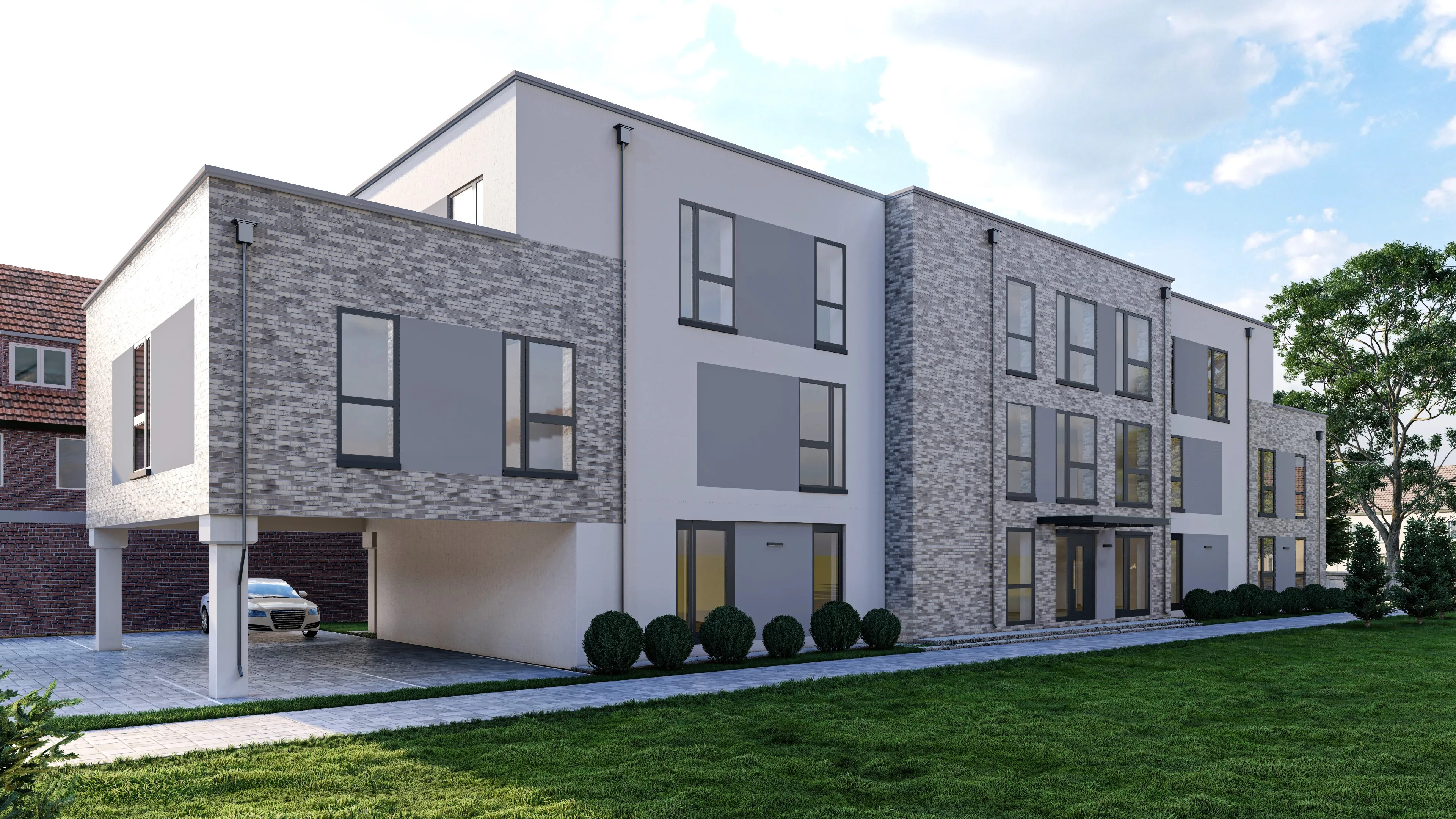
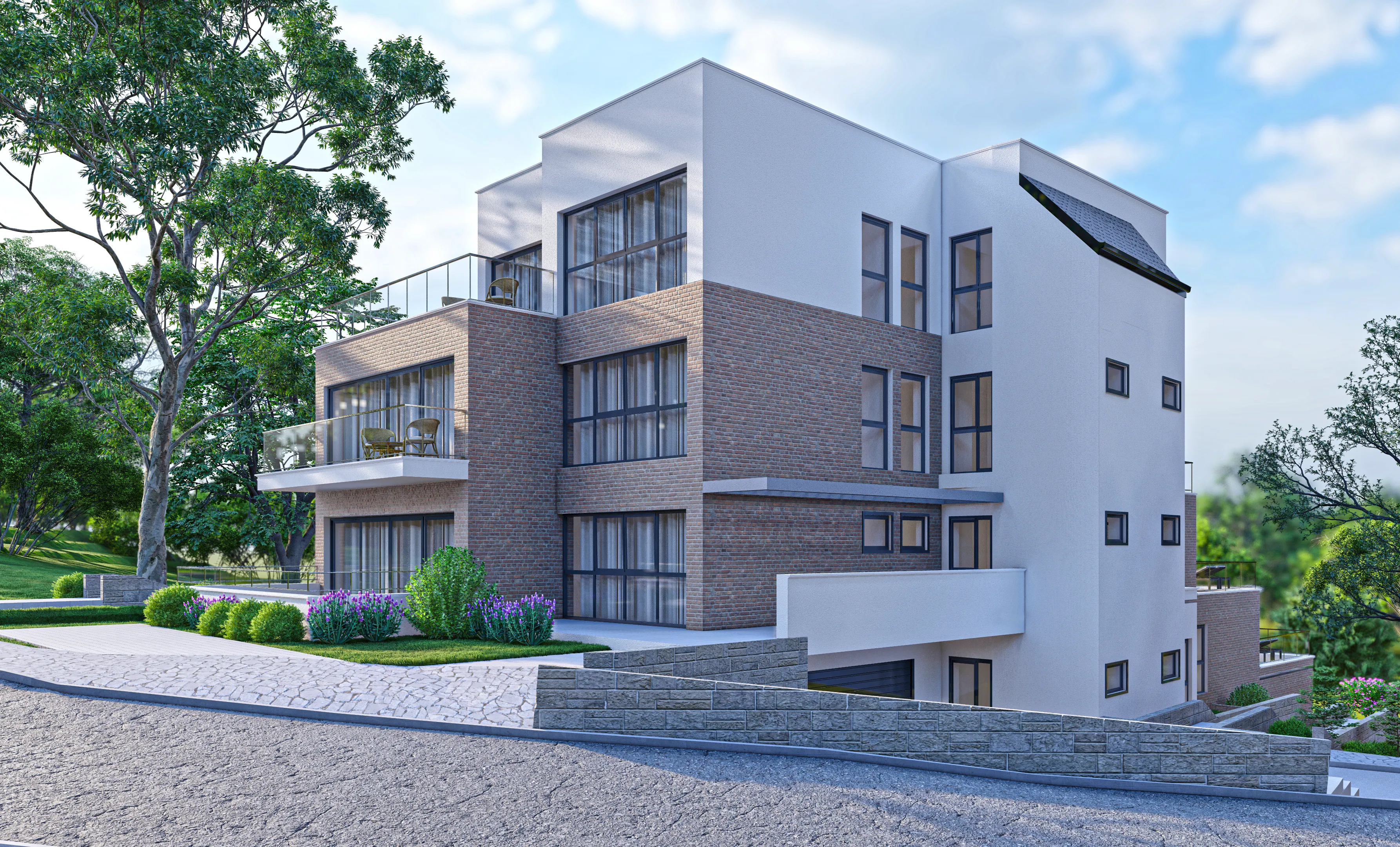
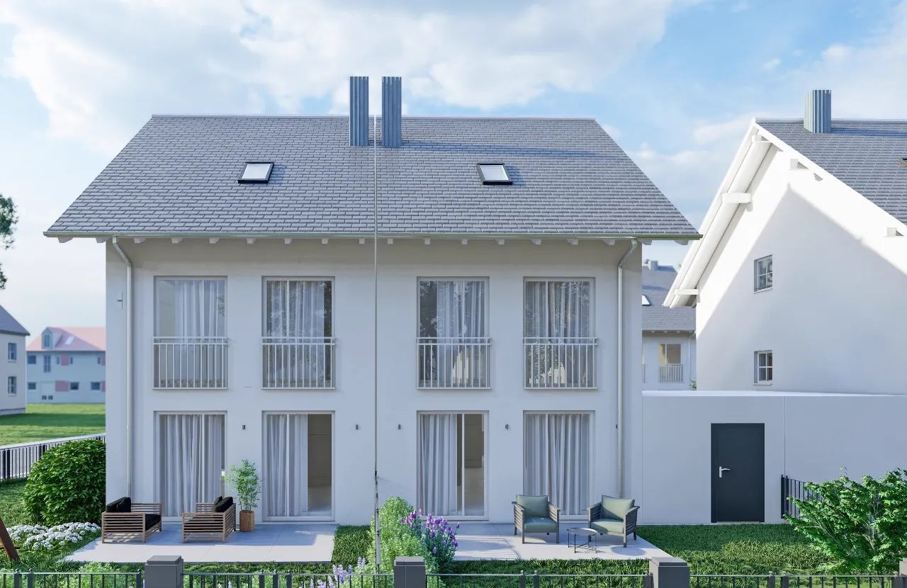
Where drone videos excel
Property Listings
Drone videos are the perfect opener for a property listing, instantly conveying location, surroundings and the scale of the building. A mark of quality that sets agents and developers apart from the competition.
Construction Progress & Documentation
Regular drone flights document construction progress seamlessly for investors and developers. Ideal for quarterly updates and stakeholder reports.
CGI-Compositing
We integrate photorealistic 3D buildings seamlessly into real drone footage. Investors and buyers see the finished project while construction is still under way - in photorealistic quality.
The comprehensive guide: drone footage for commercial and residential property
Seeing the world from above has always held an immense fascination. What once required expensive helicopter flights and massive camera rigs for Hollywood productions has, thanks to modern drone technology (UAVs - unmanned aerial vehicles), become an essential tool for architecture, property marketing and construction documentation. Professional drone footage quite literally elevates your project\u2019s perspective. In this guide, we explain why aerial imagery is no longer a luxury, what matters legally, and how to use drone videos to win over buyers and investors faster.
Why property drone videos accelerate sales
Location, location, location - the mantra of the property industry. But a ground-floor photo can never adequately convey the true quality of a setting.
- Visualising the macro-location: Is the nearest woodland really just a five-minute walk away? How far is the lake? A camera move at 50 metres altitude answers these questions instantly, without the prospect ever opening a map. The surrounding infrastructure becomes tangible at first glance.
- Capturing site dimensions: Especially with large plots, parks or brownfield sites, it is impossible to judge the true scale from the ground. Drone flights capture the entire site in one sweeping, impressive angle.
- Emotion and premium perception: Gentle flight manoeuvres convey a sense of grandeur. A listing with an integrated glossy drone video instantly tells the potential buyer: "This is a high-end estate." That often justifies a significantly higher sale price.
CGI compositing: when drone meets 3D
One of our core specialisms is combining physical drone flights with virtual 3D architectural visualisation - known as architectural photomontage or CGI compositing.
Imagine you have bought a plot that still holds an old building or is completely overgrown. How do you present that to a buyer? We fly the plot with the drone in a smooth orbit. In post-production, the clip is analysed by software ("3D tracking"). We then build the new development in 3D exactly to plan, match the 3D model\u2019s lighting 100% to the conditions in the footage, and composite the building seamlessly into the clip. The investor sees a finished development in its authentic neighbourhood - before the diggers even arrive. An absolute superweapon in off-plan sales.
Construction progress documentation by drone
Beyond sales, the drone is a fantastic tool for construction management.
- Investor reporting: Show shareholders, developers or banks that milestones have been reached. Monthly drone flights along the identical flight path (waypoint flights) chart construction progress from excavation pit to topping-out.
- Clash detection & surveying: We can use drone imagery to generate precise 3D point clouds of construction progress (photogrammetry). This lets the BIM manager compare the real build state against the digital planning model.
Legal requirements: why true professionals are essential
"I have a nephew with a cheap drone, he can handle it." - A sentence that often proves very expensive in the property business. Commercial drone operation in Germany and the EU is strictly regulated.
Our copter crews are certified under EU law (remote pilot certificate / A2, operation in the specific category possible). Many properties are located in major cities - often within airport control zones, above trunk roads, industrial facilities or hospitals. An illegal flight can not only incur enormous fines; it can also render the entire footage unusable for commercial purposes (e.g. on a landing page) if the authorities get wind of it. Before every deployment, we check the official drone maps, obtain permits from police and aviation authorities where required, and fly within the legal framework with full commercial liability insurance.
Equipment & technology: 4K, 10-bit colour and high frame rates
Commercial drone work demands professional camera equipment. We do not work with hobby drones but with semi-professional to fully professional systems (such as the DJI Mavic 3 Cine or the DJI Inspire series).
- 4K resolution: Pin-sharp images that never pixelate, even on large presentation screens in the showroom or at trade fair stands.
- Dynamic range: Shooting in the D-Log colour profile (10-bit) allows us to recover detail (cloud structures) even in deep shadows and bright skies during post-production colour grading.
- Cinematic movement: Slow-motion capture (60 or 120 FPS) delivers buttery-smooth camera moves. A calm, controlled flight lends the image stability and premium character. Shaky, rapid pans destroy the luxury feel instantly.
Pre- & post-production: we deliver finished films, not just file fragments
Many providers simply hand the client a USB stick of raw video files after the flight. Hardly any sales team can work with that. With us, you get the complete workflow of a film production:
We review and sort the footage, select the most impressive shots, cut them precisely to the beat of licensed, contemporary background music, apply colour grading, integrate animated text overlays (e.g. graphic arrows marking motorway access, or coloured areas highlighting your plot in the video) and export the film so it works perfectly on Instagram, YouTube or the project website.
FAQ
Frequently asked questions about drone footage
Everything about legality, process and drone CGI.
Projekt anfragen
In 4 einfachen Schritten zum unverbindlichen Angebot.